
Overview: A Significant Seismic Event in the Caribbean Sea
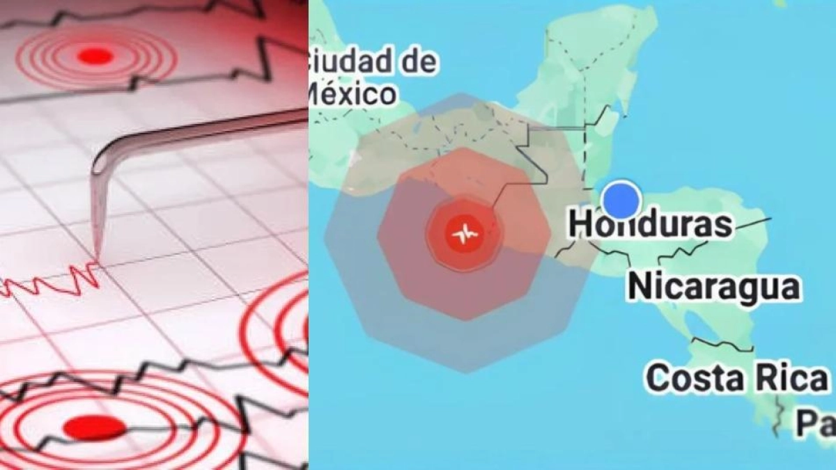
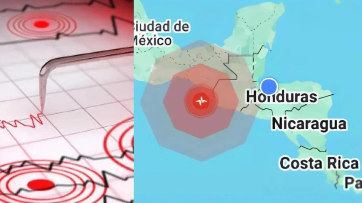
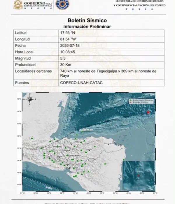
On Saturday, July 18, 2026, a seismic event with a magnitude of 5.3 rattled the waters of the Caribbean Sea, specifically off the coast of the department of Gracias a Dios in eastern Honduras. This region, which shares a maritime and terrestrial border with Nicaragua, is known for its complex geological composition. Despite the intensity of the tremor, initial reports from government authorities confirmed that there were no immediate reports of casualties, injuries, or significant structural damage to infrastructure in the coastal communities.
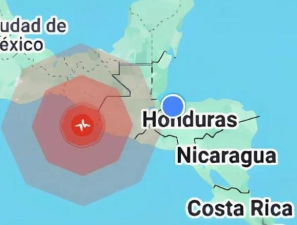
The earthquake, which occurred at approximately 10:08 a.m. local time (16:08 GMT), served as a reminder of the latent seismic risks inherent in the Central American region. While the epicenter was located at a considerable distance from populated areas—specifically 369 kilometers northwest of Raya, in the municipality of Ramón Villeda Morales—the tremor was detected by various international and local monitoring agencies, triggering standard protocols for risk assessment and geological surveillance.
Chronology of the Event
The sequence of the event began early Saturday morning when seismographs registered the initial rupture. The following timeline outlines the progression of the incident based on official data provided by the Secretariat of Risk Management and National Contingencies (COPECO):
- 10:08 a.m. (Local Time): The primary seismic event occurred in the Caribbean Basin.
- 10:15 a.m. – 10:45 a.m.: Immediate data processing by geological institutes determined the epicenter, depth, and magnitude. Initial assessments were cross-referenced with local municipal authorities in Gracias a Dios to ascertain if the shaking was felt by the local population.
- 11:00 a.m.: Official communication was issued by the Secretariat of Risk Management, confirming the 5.3 magnitude and ruling out any immediate threat of a tsunami, given the depth and characteristics of the rupture.
- 12:30 p.m.: Field teams in the department of Gracias a Dios reported that there was no disruption to basic services, such as electricity or telecommunications, and that the population remained calm.
Supporting Technical Data
The technical profile of the earthquake provides critical context for why, despite its moderate magnitude, the event resulted in no reported damage. According to data provided by the relevant monitoring bodies, the earthquake had a focal depth of 30 kilometers.

In seismology, the depth of an earthquake is a determining factor in its impact on the surface. A depth of 30 kilometers is considered relatively shallow in geological terms, but the significant distance from the coastline (369 kilometers from the nearest municipality) meant that the energy dissipated substantially before reaching any populated settlements.
The epicenter, located in the deep waters of the Caribbean, meant that the tectonic forces involved were far removed from the structural foundations of urban centers. Furthermore, the oceanic crust in that specific sector of the Caribbean Plate is characterized by a mix of transform and convergent boundaries, which often results in frequent, low-to-moderate magnitude activity that goes largely unnoticed by the general public.
Geological Context: Why Central America is Prone to Earthquakes
Honduras, like its neighbors Guatemala, El Salvador, and Nicaragua, sits atop a volatile geological puzzle. The region is influenced by the interaction of several major tectonic plates, most notably the Caribbean Plate and the Cocos Plate, as well as the North American Plate.
The Caribbean Plate Dynamics
The Caribbean Plate is bounded by a complex system of faults. In the Pacific region of Central America, the subduction of the Cocos Plate beneath the Caribbean Plate is the primary driver of intense seismic activity and volcanic formation. However, the northern and eastern reaches of the Caribbean Plate—where this recent earthquake occurred—are dominated by strike-slip fault systems. These faults, where plates slide past one another, are prone to sudden, lateral ruptures that can generate significant tremors.
Comparison with Regional Trends
While the Pacific coast of Central America is historically the site of the most powerful and destructive earthquakes, the Caribbean basin is not immune. Scientists note that the stress accumulated along the boundary between the North American and Caribbean plates can periodically result in earthquakes of moderate magnitude. This recent event serves as a critical data point for geologists studying the slip rates of these underwater faults, which are less monitored than their terrestrial counterparts due to the inherent difficulties of deep-sea observation.
Official Responses and Risk Management
Following the event, the Secretariat of Risk Management and National Contingencies (COPECO) acted swiftly to reassure the public. In a formal statement, authorities emphasized the importance of maintaining an "earthquake-ready" culture, even when events do not result in immediate disaster.
"We have maintained constant communication with the local emergency committees in the Gracias a Dios region," an official spokesperson stated. "Our monitoring systems remain active to detect any potential aftershocks, although, at this stage, the probability of a major secondary event is low. We urge the population to remain informed through official channels and not to spread unverified information on social media."
The government of Honduras has invested in recent years in modernizing its seismological network. This investment allows for faster response times and more accurate data, which is essential for civil protection. By providing transparent data about the 30-kilometer depth and the distance from the coast, officials were able to prevent panic in the coastal provinces.

Societal and Infrastructure Implications
Though this specific event did not cause damage, it underscores the need for continuous infrastructure resilience in Honduras. The department of Gracias a Dios is characterized by its geography, which includes extensive wetlands, tropical forests, and remote coastal communities. In such areas, logistical challenges can complicate rescue and aid delivery in the event of a truly catastrophic earthquake.
Preparedness and Resilience
For the residents of eastern Honduras, this event is a reminder of the importance of:

- Structural Integrity: Ensuring that new constructions adhere to modern building codes designed to withstand lateral seismic forces.
- Community Awareness: Educating local communities on "Drop, Cover, and Hold On" techniques, even in rural areas where earthquakes are perceived as infrequent.
- Early Warning Systems: The reliance on regional cooperation—sharing seismic data between Honduras, Nicaragua, and international centers—is vital. Seismic waves do not recognize borders, and the scientific community in Central America has made great strides in regional integration to track these phenomena.
Conclusion: A Reminder of Nature’s Power
The 5.3 magnitude earthquake in the Caribbean on July 18, 2026, concludes without incident, serving as a peaceful but potent reminder of the geological forces constantly at work beneath the surface of the Earth. While the absence of damage is a relief, the scientific community continues to analyze the event to better understand the seismic behavior of the Caribbean seabed.
For the people of Honduras, the day passed as a routine reminder that vigilance and preparation are the best defenses against the unpredictability of the natural world. As monitoring continues, the data gathered from this event will be added to the growing body of research that helps scientists refine the models used to predict and mitigate the impacts of future seismic occurrences in the region.

Reporting by our International Desk, with information provided by the Secretariat of Risk Management and National Contingencies (COPECO) and EFE.