By Edwin Caicedo, Environment and Health Journalist
Updated: July 22, 2026
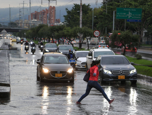
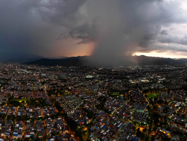
The Institute of Hydrology, Meteorology and Environmental Studies (Ideam) has issued a comprehensive national alert as Colombia prepares for a period of significant atmospheric instability. Between July 21 and July 24, a large portion of the national territory is expected to experience heavy rainfall, localized thunderstorms, and gusty winds. While the country is accustomed to diverse microclimates, the intensity and geographical spread of this current weather system have prompted authorities to heighten vigilance across multiple regions.
The Meteorological Outlook: A Mid-Week Peak in Precipitation
According to the latest technical report from Ideam, the nation is currently in the grip of a meteorological event that will reach its peak intensity on Wednesday, July 22, and Thursday, July 23. These two days are forecast to bring the most substantial accumulation of rainfall, particularly across the northwestern, western, eastern, and southern sectors of the country.
Meteorologists emphasize that this is not a localized phenomenon but a widespread atmospheric pattern. The increased humidity levels, combined with the convergence of moisture from the Pacific and the Caribbean, are creating a volatile environment. While the tropical storm "Bertha," currently moving through the northern Gulf of Mexico, remains a point of interest for regional climate experts, Ideam has clarified that it poses no direct or indirect threat to Colombia, meaning these rains are driven by internal atmospheric dynamics rather than external cyclonic influences.

Chronology of the Weather Event (July 21–24)
The Buildup (July 21)
The week began with gathering clouds and the onset of convective activity. As the week progressed, the instability intensified, setting the stage for a period of sustained precipitation.
The Peak Intensity (July 22–23)
Wednesday, July 22, marks the primary focus of the alert. Ideam anticipates a sharp increase in both the coverage and intensity of storms throughout the afternoon and evening. The primary impact areas include:
- Northern and Central Regions: Magdalena, Cesar, Bolívar, Sucre, Córdoba, Norte de Santander, Santander, and Cundinamarca.
- Western Regions: Antioquia, Caldas, Risaralda, Quindío, Chocó, Valle del Cauca, Cauca, and Nariño.
- Eastern and Southern Regions: Arauca, Vichada, Casanare, Meta, Guainía, Caquetá, and Putumayo.
On Thursday, July 23, while some areas will see a slight transition in the focus of the storms, the overall risk remains high. The Pacific region, the Orinoquia, the Amazonia, and the northern Andes will remain under heavy cloud cover. Furthermore, officials are tracking wind gusts of approximately 30 km/h (15 knots) in parts of the northern Andes and the Pacific coast, which could exacerbate risks for infrastructure and maritime activities.
The Gradual Easing (July 24)
By Friday, July 24, a reduction in total cloud coverage is expected. However, this does not signal a total return to dry conditions. Afternoon and evening showers will likely persist in the northern and southern Pacific, the southwestern Caribbean, the northwestern Andean region, the eastern Orinoquia, and the central and southern Amazonia.
Paradoxical Risks: Managing Floods and Wildfires
One of the most complex aspects of Colombia’s current climate reality is the simultaneous risk of flooding and wildfires. While the nation prepares for significant rainfall, Ideam has maintained an alert for vegetation fires in specific sectors of the central and southern Andean region and the northern Caribbean.
This "dual threat" arises from the persistent lack of moisture in certain soil types, which have remained vulnerable despite the incoming rains. In these specific areas, the combination of dry vegetation and potential lightning strikes—common during the forecasted storms—creates a high risk of ignition. Authorities are urging the public to be mindful of this dichotomy: while low-lying areas must prepare for inundation and landslides, agricultural and forest zones must remain vigilant against fire outbreaks caused by human activity or lightning.

Official Recommendations and Public Safety Measures
Given the scope of the forecast, the National Unit for Disaster Risk Management (UNGRD) and local authorities have disseminated a series of critical recommendations to minimize potential casualties and infrastructure damage.
For the General Public:
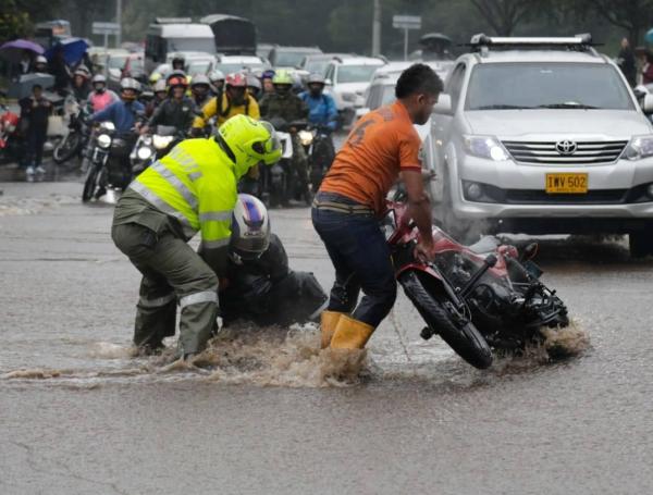
- Landslide Prevention: Residents in high-slope areas are advised to be hyper-vigilant regarding soil movement or changes in water runoff. Avoid travel in mountainous zones during peak storm hours.
- Lightning Safety: During thunderstorms, the public should avoid seeking shelter under large trees or near metal structures, which can act as lightning conductors.
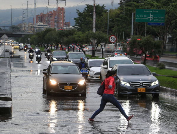
- Preventative Maintenance: Households and businesses are encouraged to clean gutters, roof drains, and nearby sumideros (storm drains) to prevent water backup and localized flooding.
- Fire Prevention: In areas under fire alert, citizens must ensure that all campfires or agricultural burn-offs are completely extinguished. Do not discard glass, plastic, or any materials that could concentrate solar radiation and ignite dry brush.
For Authorities and Emergency Responders:
Ideam has explicitly requested that environmental authorities, municipal risk management councils, and local fire departments remain on high alert. This is particularly crucial for protected areas, national parks, and zones identified as having high susceptibility to mass movements. Emergency response protocols should be fully activated, with clear communication channels established between local agencies and the national meteorological hub.
Broader Implications: Climate Change and the Future of Colombia
The frequency and intensity of these events serve as a sobering reminder of the changing climate patterns affecting the Andean region. As the country grapples with potentially historic weather fluctuations, the reliance on real-time data from institutions like Ideam becomes paramount.
The upcoming arrival of Tropical Wave number 28, expected to reach the country over the weekend, further underscores the volatile nature of the current season. This wave, currently traversing the central Atlantic, will likely prolong the cycle of rain, necessitating long-term adaptation strategies for agriculture, urban planning, and water management.
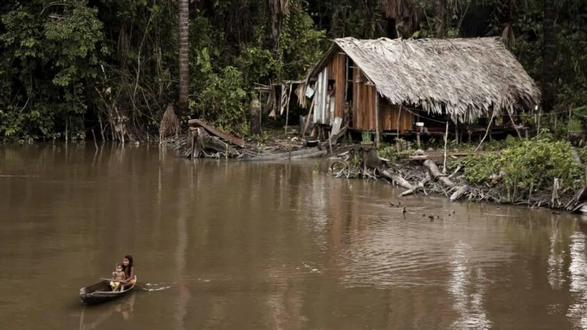
Furthermore, the impact of these climate phenomena extends to the preservation of biodiversity. Indigenous communities in regions like the Amazon are already witnessing the disappearance of essential plant species due to extreme weather shifts. The scientific community is currently monitoring whether these shifts are part of a cyclical trend or a long-term alteration caused by global anthropogenic climate change.
Conclusion
As Colombia enters this critical mid-week period, the primary message from the authorities is one of preparedness and caution. While the rain is vital for the replenishment of the country’s reservoirs and the support of agricultural cycles, the sheer volume of water expected within a 48-hour window poses a real risk to public safety.

By following the guidance of the Ideam and staying informed through official channels, citizens can navigate this period of atmospheric instability. The combination of rigorous monitoring and proactive community response remains the most effective defense against the natural hazards presented by this intense weather system.
For real-time updates and localized alerts, residents are encouraged to monitor the official website of the Ideam and follow the latest bulletins from their respective local government emergency agencies.