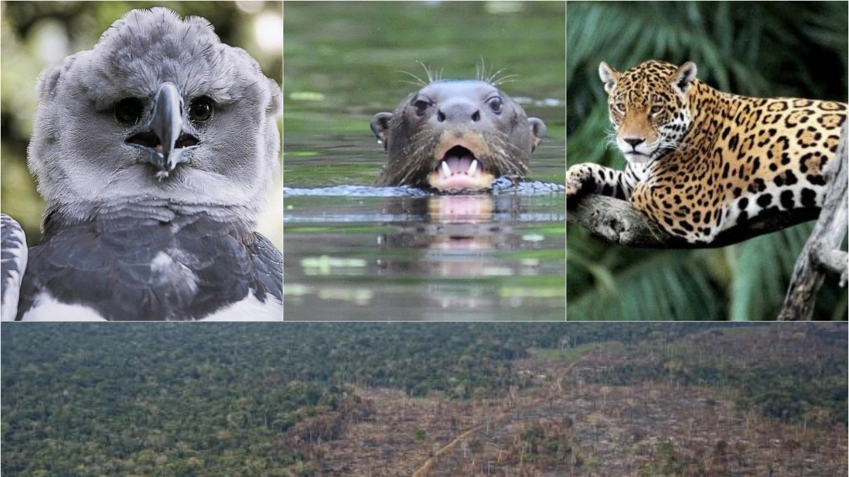
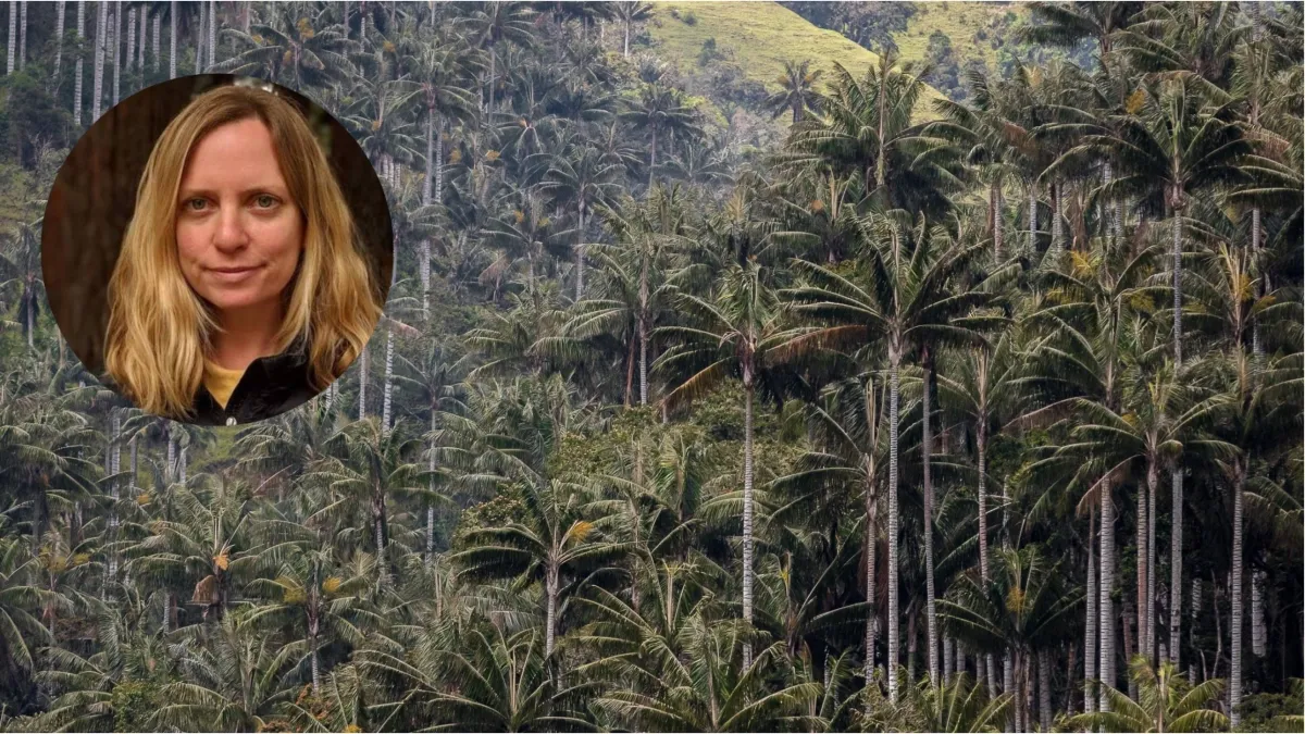
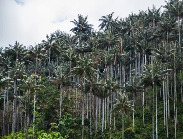
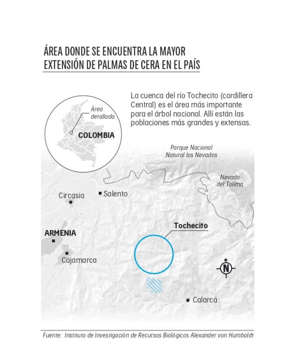
In the high-altitude embrace of the Colombian Central Andes, between 2,000 and 3,750 meters above sea level, lies a botanical titan. Tochecito is not merely a geographic location; it is a vital reservoir of life. It serves as the sanctuary for approximately 300,000 adult wax palms (Ceroxylon quindiuense), the national tree of Colombia and the tallest palm species on Earth. Beyond the towering silhouette of these trees, the region provides a critical refuge for biodiversity, hosting the yellow-eared parrot, the paramo parrot, the Andean bear, and the mountain tapir, among hundreds of other avian and mammalian species.
For decades, the preservation of this ecosystem was a matter of scientific concern and local advocacy. However, it was not until recently that the region received its most robust protection to date. The administration of former President Gustavo Petro formally declared the Santuario de Flora Palmares de Tochecito, a protected area spanning 1,964.02 hectares between the municipalities of Cajamarca and Ibagué, in the Tolima department. This declaration shields the most significant core of wax palms in Colombia, a region already recognized as a global Key Biodiversity Area (KBA).
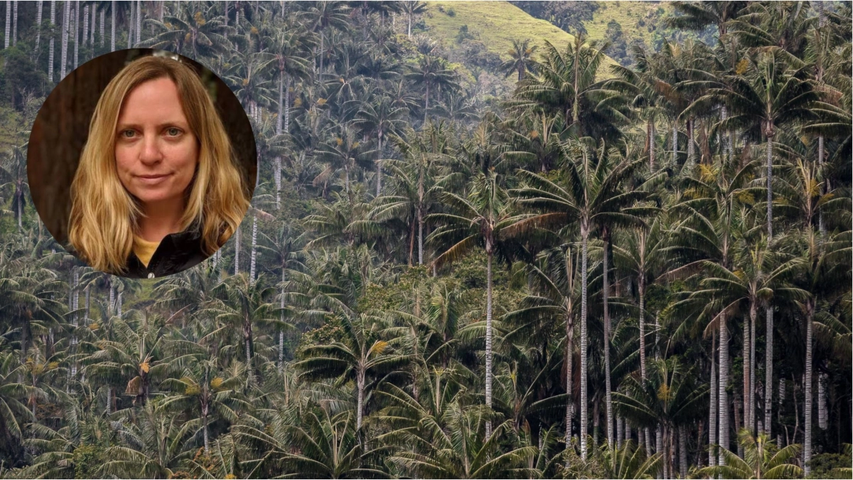
The path to this protection was paved by a synergy between traditional field research and cutting-edge geospatial technology. In an exclusive interview with EL TIEMPO, Tanya Birch, Geo Sustainability Nature Lead and senior program manager at Google, detailed how the company’s infrastructure—specifically Google Earth Engine—provided the scientific rigor necessary to turn environmental advocacy into a legally binding reality.
A Chronology of Conservation: From Data to Decree
The journey to protecting Tochecito was characterized by a meticulous accumulation of evidence. For years, the Alexander von Humboldt Institute, the national research entity for biodiversity, worked to quantify the ecological value of the Tochecito basin.

- Early Research Phase: Scientists and environmentalists began mapping the density of the wax palm population, noting that more than 70 percent of the country’s recorded population of this species resides in this specific cluster.
- Technological Integration (2022–2023): As the complexity of the data grew, traditional mapping methods proved insufficient for the scale of the region. The project integrated Google Earth Engine, a planetary-scale platform for earth observation data and analysis.
- Evidence Generation: By leveraging high-resolution satellite imagery and advanced computational power, the Humboldt Institute developed species distribution models. These models provided policymakers with a visual, data-backed justification for the sanctuary’s boundaries.
- Official Declaration (2026): With the scientific evidence consolidated, the government formalized the creation of the Santuario de Flora Palmares de Tochecito, integrating it into the National System of Protected Areas (SINAP).
"In 2023, we provided these species distribution maps for the wax palm to the authorities, to the Ministry of Environment," Birch explained. "We are really proud of the role that technology has played in providing that evidence, the data to support the creation of the protected area."
Supporting Data: The Science of Sight
The power of geospatial tools lies in their ability to bridge the gap between abstract scientific models and tangible decision-making. In the case of Tochecito, Google Earth Engine allowed researchers to perform complex spatial analyses that were previously inaccessible due to computational bottlenecks.
The Mapping Process
The maps developed by the Humboldt Institute utilized multi-layered data sets to determine "probability of presence." By analyzing the specific micro-climates, humidity levels, and soil conditions that favor wax palms, the team created a high-confidence map. This map did not just show where the palms were; it highlighted the essential corridors required for the species to thrive and regenerate.
Ecological Interconnectivity
The Tochecito basin encompasses 8,885 hectares on the eastern slope of the Central Cordillera. The new sanctuary protects nearly 2,000 hectares of this, which acts as the "beating heart" of the forest. The data showed that the protection of this core is not just for the palms, but for the entire biological web. The area is home to 163 plant species, over 300 types of birds, and 34 species of mammals.
Furthermore, the region is a hydrological engine. It is a critical component of the upper Coello River basin, feeding essential water sources such as the San Rafael, Dantas, and Pajaritos streams. These waters sustain the surrounding communities and the regional agricultural economy, proving that environmental protection is intrinsically linked to human resource security.
Official Perspectives: The Role of Tech vs. Human Decision
A common misconception in the digital age is that technology can automate the act of conservation. Tanya Birch is quick to dispel this notion. For her, technology is an enabling agent, not a substitute for governance or community stewardship.
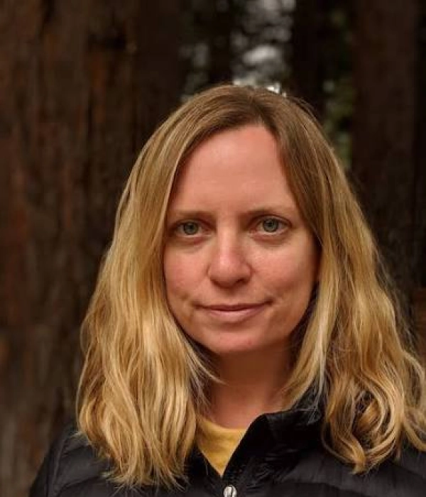
"There are many things that have to happen," Birch noted. "First is the base of all technological components: satellite data, remote sensors, bioacoustics, devices that are listening, camera traps." The challenge, she explains, is the integration of this "Big Data." However, when it comes to the final decision to declare an area protected, human judgment is paramount.
"At the end of the day, someone has to make a decision to protect the area, to enforce the law, to understand how supply chains change," Birch emphasized. Google’s position is one of support for local institutions. The company does not act as an independent environmental actor; it provides the "pick and shovel" for local scientists and authorities to do their jobs more effectively.
The Next Frontier: Artificial Intelligence and Biodiversity
As the Tochecito project transitions from a campaign to a managed sanctuary, the focus is shifting toward how AI can streamline future conservation efforts. Google Research and Google DeepMind are currently exploring tools like "Alpha Earth," which aim to map ecosystems with unprecedented speed and accuracy.
Reducing the "Tedious" Work
The primary value of AI in this context is the reduction of processing time. Historically, researchers would spend years manually cleaning, categorizing, and interpreting data. With machine learning, the preliminary analysis—such as identifying animal species from thousands of camera trap images or cross-referencing DNA samples with spatial data—can be automated.
"Some of the artificial intelligence developments are removing part of the complexity and doing the pre-processing for you, so that people on the ground can more easily use the technology," Birch said. This democratization of data is vital. By providing training and workshops to local teams, Google aims to ensure that the tools remain in the hands of the people who know the land best.
Implications: A Model for Global Conservation
The success of the Tochecito initiative carries profound implications for conservation strategy in Colombia and beyond. The sanctuary is not an isolated island; it is part of a larger, interconnected network of protected areas including the Los Nevados National Natural Park, the Otún Quimbaya Flora and Fauna Sanctuary, and the Las Hermosas National Natural Park.
Challenges Ahead
The declaration of the sanctuary is only the beginning. The ongoing challenges include:
- Restoration: Encouraging the regrowth of degraded areas to expand the habitat of the wax palm.
- Connectivity: Strengthening the biological corridors between Tochecito and the broader Central Cordillera.
- Local Stewardship: Ensuring that the communities surrounding the sanctuary are active participants in its protection.
Birch’s concluding thoughts reflect a shift in the corporate philosophy toward nature: "We don’t want to be writing the obituary of the planet with an ever-increasing resolution. We really want to support the people on the ground, those who are taking action to save a place."
The Tochecito project serves as a compelling case study of how the digital and the natural worlds can align. By combining the vast, historical data provided by the Humboldt Institute with the high-speed, analytical capabilities of Google’s Earth Engine, Colombia has secured a future for one of its most iconic natural treasures. The Santuario de Flora Palmares de Tochecito stands as a testament to the fact that when technology is used as a tool for empowerment rather than a replacement for human will, the results can be monumental.
As the sanctuary moves forward under the management of Colombia’s National Natural Parks, the data generated by these technological tools will remain a crucial asset, guiding restoration efforts and ensuring that this vital refuge remains a sanctuary for generations to come.