By: Editorial Science Desk
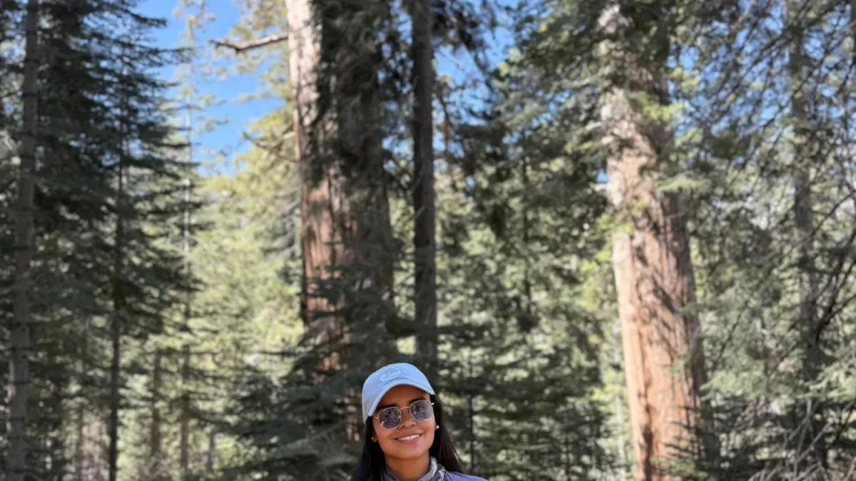
In the vast, unpredictable theater of geophysics, where the planet’s internal machinery dictates the safety of millions, one Colombian researcher is preparing to descend into the heart of the unknown. Sandra Patricia Rosero, a 35-year-old doctoral candidate in Geophysics at Baylor University, has been selected from a pool of 147 international applicants to participate in a pioneering oceanographic expedition. Come September 2026, Rosero will join a team of world-class scientists aboard the R/V Thomas G. Thompson to investigate one of the most enigmatic volcanic fields on the planet: the Auckland Volcanic Field in New Zealand.
Her journey, from the neighborhoods of Bogotá to the cutting-edge of global seismic research, is a testament to the power of public education and the relentless curiosity that defines the best scientific minds.
The Genesis of a Geoscientist: From Verne to the Lab
Born in Barranquilla but raised in the Kennedy Central neighborhood of Bogotá, Rosero’s fascination with the earth began not in a laboratory, but in the pages of classic literature. Her grandmother, an avid reader, introduced her to the adventures of Jules Verne. Journey to the Center of the Earth planted a seed of wonder about what lay beneath the soil. This curiosity was only further fueled by the dramatic geography of Colombia itself—a land of staggering contrasts where mountain ranges, volcanic peaks, and dense jungles collide within a few hours’ drive.
Her professional trajectory, however, was cemented by the influence of her sister, a physics student at the Universidad Industrial de Santander. Following in those footsteps, Rosero enrolled in the Physics program at the Universidad Pedagógica Nacional (UPN).
"The UPN meant everything to me," Rosero reflects. "Many people pigeonhole it as a teacher-training school, but my experience was far more comprehensive. I received a solid grounding in physics and, more importantly, I learned that every person has a unique way of processing information. That pedagogical foundation helped me understand not just how to teach, but how to research."
While finishing her degree, she began working at a Colombian geosciences firm. This was the turning point: she realized that physics was not merely a set of abstract equations, but a tangible toolkit for interpreting the architecture of the planet.
Chronology of a Scientific Rise
Rosero’s career trajectory is a blueprint for aspiring scientists from the Global South:
- Undergraduate Years: Studied Physics at the Universidad Pedagógica Nacional, Bogotá, while simultaneously gaining industry experience at GMAS S.A.S.
- The Bridge to Geophysics: Collaborated with industry experts in mining and infrastructure, which served as her bridge from pure physics to applied geophysics.
- International Mentorship: Influenced by scholars like José María Jaramillo and Germán Prieto, she pursued a Master’s degree in Geology-Geophysics at the University of Puerto Rico.
- Regional Monitoring: Worked with the Puerto Rico Seismic Network, sharpening her skills in real-time earthquake analysis in the Caribbean.
- Doctoral Pursuit: Currently in her final year at Baylor University, specializing in seismic tomography to map the tectonic complexities of the northeastern Caribbean.
- The New Zealand Milestone: Selected for the 2026 expedition to lead the deployment of deep-sea seismic instruments.
The Mission: Deciphering the Auckland Volcanic Field
The Auckland Volcanic Field is a geological anomaly. Located directly beneath New Zealand’s most populous city, it defies conventional tectonic expectations. Unlike most volcanic regions, which form along the boundaries of tectonic plates, this field is located squarely in the middle of the Australian Plate.

"There is currently no scientific consensus on why this magma exists here," Rosero explains. "Some hypotheses point to materials rising from the mantle transition zone, 410 to 660 kilometers deep. Others suggest processes in the upper mantle or the lithosphere itself. Our mission is to find out."
The expedition will utilize a network of 20 ocean-bottom seismometers (OBS). These instruments, designed to withstand the crushing pressure of the deep sea, will record seismic vibrations for years, allowing the team to create a "medical-grade" scan of the Earth’s sub-surface.
"Think of it like a CT scan for the planet," Rosero says. "By measuring how seismic waves change speed and trajectory as they pass through different rock densities, we can create high-resolution images of the mantle. We aren’t just looking at the crust; we are looking at the ‘plumbing’ of the volcanic system."

Supporting Data and Methodology
The R/V Thomas G. Thompson will operate 24 hours a day. The team will work in grueling 8-to-10-hour shifts, often in harsh maritime conditions. The methodology relies on an integrated approach:
- Seismic Tomography: Measuring natural earthquake waves to map the deep structure of the crust.
- Multibeam Bathymetry: Creating high-resolution maps of the seafloor topography.
- Gravity and Magnetic Surveys: Detecting variations in rock density and composition.
- Sub-bottom Profiling: Using acoustic pulses to reveal the layering of marine sediments.
By combining these datasets, the researchers aim to build a coherent, three-dimensional model of the magma’s journey from the depths of the mantle to the surface.
Implications: Why This Matters for Public Safety
While the research in New Zealand is driven by fundamental science, its implications are profoundly practical. Auckland is a major urban center; understanding the nature of its volcanic risk is a matter of public safety.

"Understanding these processes helps improve volcanic hazard assessments," Rosero notes. "If we can pinpoint how and where the magma originates, we can better predict potential future activity. This is the ultimate goal of geophysics: to turn complex data into actionable knowledge that protects society."
Furthermore, the expedition serves as a bridge for future collaboration. Rosero believes that the techniques mastered in New Zealand—specifically the deployment of ocean-bottom seismic networks—have direct applications for Colombia, which faces its own unique tectonic challenges along its Caribbean and Pacific coastlines.
A Message to Future Generations
When asked about what it means to be a Colombian scientist representing her country on such a global stage, Rosero is humble but firm.

"It is an enormous pride and a great responsibility," she says. "It demonstrates that talent, discipline, and perseverance can open doors that often seem insurmountable. I want young students to know that the place where they were born, or the economic constraints they face, do not define their potential. Science is not a dream reserved for the elite or the wealthy nations. From Colombia, and from our public universities, we are capable of contributing to the most significant scientific projects on Earth."
As she prepares for the September 2026 departure, Rosero represents a new wave of geophysicists who are not just observing the world, but actively mapping the hidden forces that shape it. Her story is a reminder that the most profound discoveries often begin with a simple, childhood question—and that with enough determination, the answer lies just beneath our feet.