As the nation navigates a complex transition in its meteorological patterns, citizens are urged to prepare for a week of sharp contrasts. While heat warnings dominate headlines in specific regions, flood-prone areas remain on high alert.
The Current Meteorological Landscape
Colombia is currently experiencing a period of extreme meteorological variability that challenges the traditional understanding of seasonal transitions. According to the latest bulletins from the Institute of Hydrology, Meteorology, and Environmental Studies (Ideam), the country is trapped in a climatic dichotomy: while the western and central regions of the nation continue to grapple with persistent, often intense rainfall, other parts of the country are bracing for record-breaking thermal spikes.
This week, spanning from October 27 to October 30, 2026, requires citizens to be particularly vigilant. The atmospheric conditions are shifting rapidly, creating a landscape where, in some departments, umbrellas are as essential as high-SPF sunscreen. The Ideam has emphasized that these fluctuations are a reminder of the country’s unique topography and the increasing unpredictability of global climate patterns.

Thermal Alerts: The Heatwave in the Lowlands
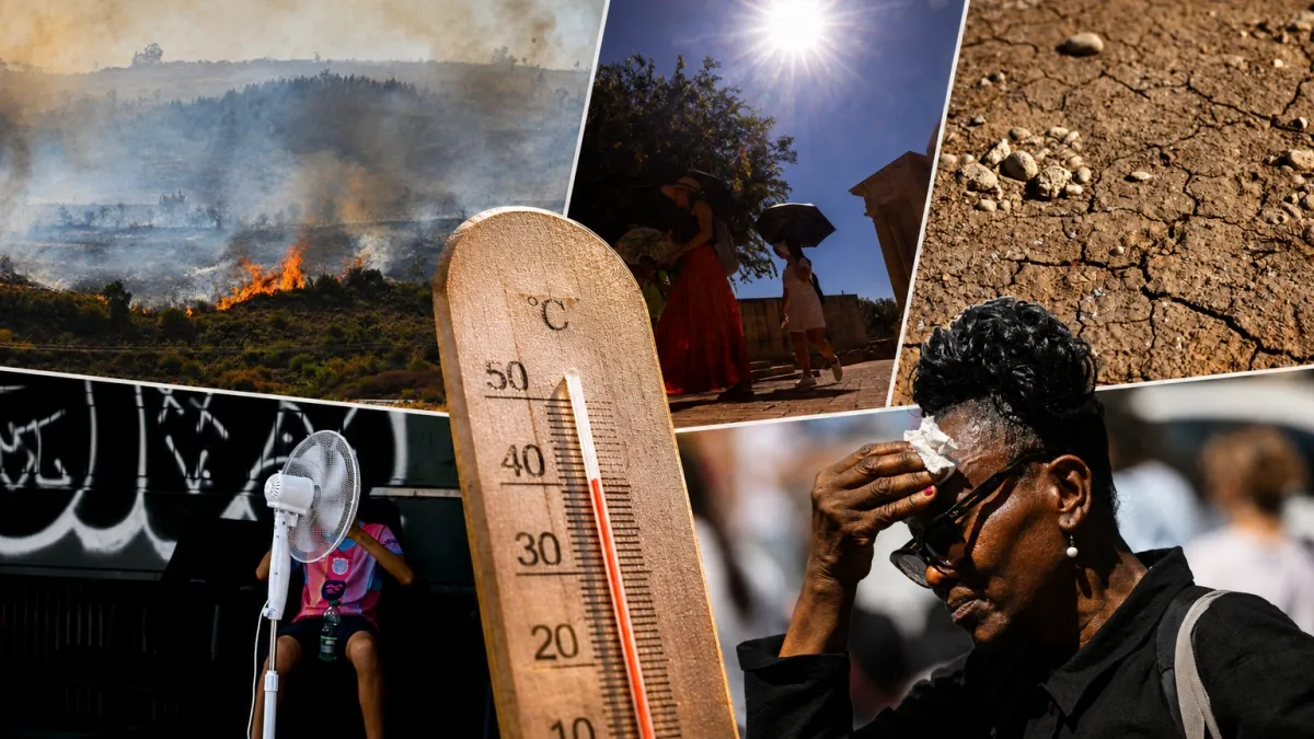
While much of the country deals with waterlogged terrain, the Ideam has issued a stern warning for cities located in the lower-lying regions of the country. In urban centers such as Cúcuta, Neiva, Leticia, and Florencia, temperatures are expected to climb toward an alarming 39 degrees Celsius (approximately 102 degrees Fahrenheit).
This intense thermal sensation is not merely a comfort issue; it poses significant health risks. Authorities are advising residents in these cities to prioritize hydration, avoid direct sun exposure during peak hours—typically between 10:00 a.m. and 4:00 p.m.—and keep a close watch on vulnerable populations, including the elderly and young children. The prolonged exposure to such high temperatures can lead to heat exhaustion and dehydration, putting additional pressure on local healthcare systems that may already be dealing with the secondary effects of the rainy season in other regions.
The Rainy Belt: Constant Precipitation and Flood Risks
In stark contrast to the heat, the western and central departments of Colombia remain under a heavy rainy regime. Antioquia, Bolívar, Santander, Norte de Santander, Chocó, Valle del Cauca, and Nariño are expected to endure sustained precipitation of varying intensities throughout the week.

The situation in the Caribbean region is particularly sensitive. Following a weekend of significant emergencies on October 24 and 25, where heavy downpours triggered widespread flooding and dangerous river overflows, local communities remain on edge. The Ideam suggests that while there may be brief windows of dry weather, the threat of continued rain persists. The saturated soil in these regions means that even moderate rainfall can lead to rapid runoff, flash flooding, and landslides, particularly in mountainous zones.
Bogota: A Case Study in Climatic Contrast
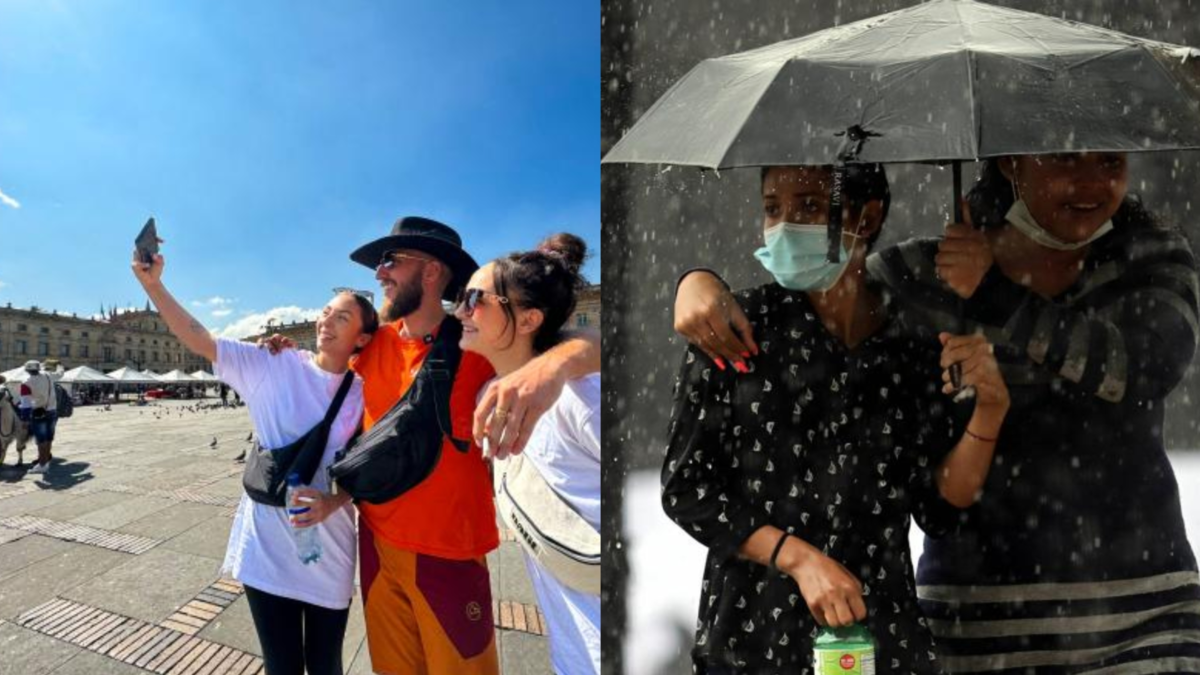
Perhaps nowhere is the variability more evident than in the capital, Bogotá. The city is set to be the protagonist of a "climatic roller coaster" this week. Residents should prepare for a wide thermal amplitude, with temperatures fluctuating between a chilly 7 degrees Celsius in the early morning and a mild 24 degrees Celsius in the afternoon.
The meteorological forecast for the capital indicates a pattern of dry mornings followed by heavy rainfall, particularly in the western sectors of the city. Wednesday and Friday are projected to be the wettest days of the week. This volatility has led local authorities to issue a "dual-protection" recommendation: citizens should be prepared for sun and rain simultaneously. The infrastructure of the city, particularly the drainage systems, will be put to the test once again as afternoon storms become a daily fixture of the urban landscape.

Chronology and Expected Progression
To help citizens navigate the week, the meteorological progression can be broken down as follows:
- Tuesday, October 27: The week begins with high thermal intensity in the eastern and southern plains. High-pressure systems are concentrating heat in the valleys, while localized convective storms are forming over the Andean region.
- Wednesday, October 28: A slight increase in cloud cover is expected across the central region. This is the day when residents in Bogotá and the central highlands should be most prepared for afternoon storms.
- Thursday, October 29: A brief respite in rainfall is expected in the Caribbean, though high humidity will make the temperatures feel significantly higher than the thermometer indicates.
- Friday, October 30: A new wave of instability is expected to cross the country from the Pacific, increasing the likelihood of heavy rain in the departments of Chocó and Valle del Cauca.
Implications for Infrastructure and Public Safety
The duality of this weather pattern presents significant challenges for public policy and infrastructure management. When a country faces simultaneous drought-like conditions in some areas and flood risks in others, resources are often stretched thin.
1. Agricultural Impact
In the regions experiencing extreme heat, such as Neiva and Cúcuta, the agricultural sector faces the risk of crop dehydration and livestock stress. Conversely, in the flooded regions, excess moisture can lead to soil erosion and the destruction of seasonal harvests. Farmers are being advised to implement soil management techniques that mitigate both evaporation in the heat and waterlogging in the rain.

2. Urban Drainage and Mobility
In cities like Bogotá, Medellin, and Cali, the intensity of afternoon storms frequently overwhelms urban drainage systems. This results in traffic paralysis, public transport delays, and damage to road infrastructure. Urban planning experts emphasize that these weather patterns, exacerbated by climate change, require a modernization of drainage systems to handle the increased volume of water over shorter periods.
3. Public Health
The alternation between intense heat and heavy rain creates a breeding ground for vector-borne diseases. Mosquitoes, which carry viruses like Dengue, Zika, and Chikungunya, often thrive in the stagnant water left behind by storms. Health authorities are urging citizens to clear standing water from their properties to prevent breeding sites, even as they remain protected from the heat.
Official Response and Preparedness
The Ideam continues to monitor the situation with satellite imagery and local sensor networks. They have urged regional disaster risk management offices (UNGRD) to remain on high alert. The primary recommendation remains the same: "Stay informed."

Because weather patterns are shifting with increasing speed, relying on yesterday’s forecast is no longer sufficient. Residents in affected areas are encouraged to:
- Monitor official channels for real-time alerts.
- Avoid crossing flooded streets or streams, as the current can be much stronger than it appears.
- Secure roofs and windows against potential high winds that often accompany the end-of-week storms.
- Practice water conservation in areas facing heatwaves, as high temperatures often lead to increased consumption and pressure on the water supply.
Conclusion: Living with Variability
Colombia’s current weather state serves as a stark reminder of the complexities of the Andean climate. The ability to live in harmony with this environment requires a degree of adaptability that is increasingly becoming a part of the national identity. Whether it is the scorching sun of the Magdalena Valley or the persistent, cooling rains of the Andean slopes, the message from meteorologists is clear: prepare for the unexpected, stay alert, and prioritize safety in all daily activities. As the country moves through the remainder of October, the dual threat of heat and water remains the defining narrative of the season.