*By Aníbal Pérez García ()*
Special Analysis for Razón Pública ()
Translated and adapted for international publication
Introduction: The Looming Crisis of Territorial Habitability
Colombia is currently caught in a linguistic and conceptual paradox. In policy forums, academic panels, and government manifestos, the country speaks with increasing fluency about resilience, risk management, ecological restoration, climate adaptation, and water security. Yet, on the ground, the ledger tells a starkly different story.
The nation continues to accumulate degraded riverbasins, chronically flooded urban centers, deteriorating agricultural soils, and populations rendered progressively more vulnerable to extreme weather events.
None of the prevailing policy agendas—taken individually—provide an adequate answer to a fundamental, overriding question: How do we enable a territory to recover its baseline capacity to produce water, regulate floods, conserve topsoil, sustain biodiversity, and capture carbon, all while human communities live, farm, and build economies within it?
Traditionally, concepts like sustainability, adaptation, and regeneration are presented as sequential rungs on the same conceptual ladder. In reality, they must coexist. A single watershed may simultaneously require physical dikes to protect a downstream town, structural landscape adjustments to handle increasingly intense downpours, and the systematic recovery of wetlands that historically buffered those very surges.
Regeneration broadens this territorial objective by forcing a third, crucial inquiry: Which essential functions has the territory lost, which of them can it realistically recover, and which entirely new capacities must we construct?

Main Facts: The Core Challenge of Environmental Degradation
At its core, the crisis in Colombia is not merely one of climate change; it is a crisis of structural functional loss. The ecological functions currently in jeopardy are concrete, measurable, and vital:
- Hydrological regulation and aquifer recharge.
- Natural flood buffering and stormwater attenuation.
- Soil fertility and structural integrity.
- Ecosystem integrity and biological connectivity.
- Carbon sequestration.
These natural functions are inextricably linked to human productive capacities and physical infrastructure, such as reliable municipal water supply and hydroelectric generation. None of these systems can sustain themselves in isolation.
Furthermore, regeneration offers a vital paradigm shift when confronting threats that are entirely independent of shifting weather patterns. Following a seismic event, for instance, rebuilding housing stock, hospitals, schools, and utility grids is paramount. However, this reconstruction can either be limited to passively replacing what was destroyed, or it can be leveraged as a transformative opportunity to eliminate pre-existing vulnerabilities, fundamentally reorganize the relationship between infrastructure and the landscape, and sustainably restore local livelihoods.

Chronology and Evolution of Land Management in Colombia
To understand how Colombia arrived at this juncture, one must examine the evolution of its territorial planning models over the past century:
- Pre-Columbian Era (Pre-1500s): Indigenous societies, such as the Zenú in the Caribbean lowlands, engineered complex systems of canals and raised fields (camellones). They did not fight their geography; they designed systems that produced with seasonal floods while maintaining soil moisture for dry periods.
- The 20th Century (The Era of Domination): Driven by industrialization and a growing agricultural frontier, territorial development in Colombia was defined by the capacity to transform space to satisfy immediate human needs. Rivers were channeled, forests cleared, and infrastructure raised, with little to no regard for the systemic capacities lost in the process.
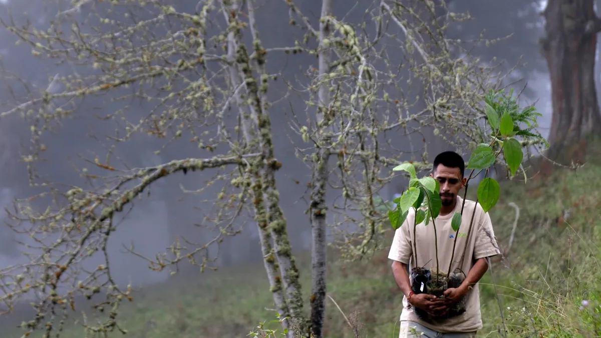
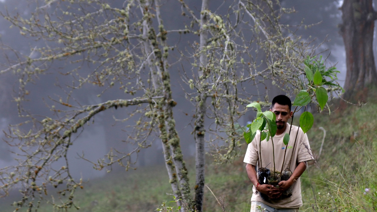
- 2021 (A Legislative Turning Point): Colombia enacted a landmark law compelling medium-sized and large corporations to actively restore ecological environments using native tree species—a step toward corporate environmental accountability.
- Present Day (2026): The country faces an inflection point. Climate models, such as those warning of unprecedented hydrological volatility, demonstrate that simply adapting to an increasingly degraded baseline has a hard ceiling. Building higher walls, digging deeper wells, and repairing infrastructure after every disaster are no longer economically or ecologically viable long-term strategies.
Supporting Data and Regional Case Studies
Regeneration does not offer a universal, cookie-cutter recipe. Colombia’s diverse topography demands localized approaches. The Caribbean region alone illustrates three vastly different operational challenges:
1. Córdoba and La Mojana: Producing With Water
In the lower San Jorge basin—including the Ayapel marsh complex in Córdoba, which links with the Cauca River and La Mojana—the historic challenge has been treated as one of keeping water out. The ancestral Zenú canals proved that the region thrives under a design philosophy that embraces flooding.

Today, the economic and policy question is no longer how to continuously contain water with expensive, failing civil works, but rather: What percentage of the historical functionality of sloughs, marshes, and floodplains must be recovered to structurally reduce risk, and how must modern agricultural systems transform to coexist with these natural dynamics? Reclaiming space for water may ultimately prove far less costly than fighting it in perpetuity.
2. Sucre: Regenerating Through Production
Of the approximately eight million hectares of tropical dry forest that once blanketed Colombia, only about 720,000 hectares remain. Agricultural and livestock expansion accounts for the vast majority of this loss, with the Caribbean plains currently holding the lion’s share of what is left.
While conventional rural planning asks what economic use can be squeezed out of a specific plot of land, a regenerative framework asks a different set of questions: What would happen if spatial planning explicitly mapped soil infiltration, topsoil recovery, ecological connectivity, and hydrological regulation? Read through this lens, thousands of individual ranching and farming decisions could be aggregated into a cohesive, landscape-level adaptation strategy.

3. La Guajira: Regenerating Water-Scarce Frontiers
The El Cercado reservoir on the Ranchería River was originally designed to irrigate 18,000 hectares and supply aqueducts across eight municipalities. Though construction began over fifteen years ago, connection projects continue to come online incrementally to supply local towns.
In arid zones like La Guajira, regeneration is not about retreating to a pristine past; it recovers what is ecologically possible—soils, native ground cover, and shallow aquifers—while aggressively integrating novel technological capacities: solar- and wind-powered seawater desalination, advanced storage systems, and treated wastewater reuse. Here, green and gray infrastructure are evaluated purely on the functional value they add to the system as a whole.
Official Responses and Policy Implications
The traditional Colombian framework for territorial ordering has historically revolved around three narrow questions:

- What is the current use of this land?
- What use can it legally have?
- What legal restrictions exist?
The regenerative approach introduces a mandatory fourth question: What essential functions does this territory need to recover or develop in order to remain habitable?
Answering this fourth question generates an entirely different map. One geographic zone may be designated as a priority for hydrological regulation and aquifer recharge; another for ecological connectivity; and a third for temporary flood storage, soil restoration, coastal protection, or carbon sequestration.
Transitioning from "managing land use" to "managing territorial functions" fundamentally changes the nature of public policy. The state continues to allocate available land, but it simultaneously decides which ecological capacities must be rebuilt or engineered from scratch.

Conventional agriculture asks how much a single hectare can yield; regenerative agriculture asks: What happens to the soil, the water table, ground cover, carbon storage, and local biodiversity while that hectare is producing?
Implications for Colombia’s Future
For decades, the narrative of national development has been predicated on human mastery over nature. We built cities, expanded agricultural frontiers, straightened rivers, and poured concrete. Rarely did we pause to calculate the hidden ecological price tag of those transformations.
The shift toward a regenerative model does not demand that society renounce economic development, nor does it romanticize an idealized, pre-industrial past. Instead, it embeds a pragmatic audit into every infrastructural and economic decision: Which ecological capacities are we conserving, which are we actively degrading, and which must we help restore?

Human habitability and economic prosperity are not independent of nature; they are entirely contingent upon natural, productive, and constructed systems continuing to function in concert. Learning to live within a shifting, unpredictable climate is essential. But the ultimate challenge—one that Colombia is only now beginning to articulate—is learning how to return to the landscape its capacity to sustain life even as we continue to shape and transform it.
About the Author
( ) Aníbal Pérez García is a civil engineer holding a Master’s degree in Hydrosystems and a Ph.D. in Geosciences. He has served as Vice Minister of Water, Executive Director of the Fund for Life and Biodiversity, and leader of major national infrastructure and climate resilience programs in Colombia.*
( ) Razón Pública is a non-profit think tank dedicated to bridging the gap between rigorous academic analysis and high-level public decision-making in Colombia.