
in Eight Cities Amid Decreasing Rains
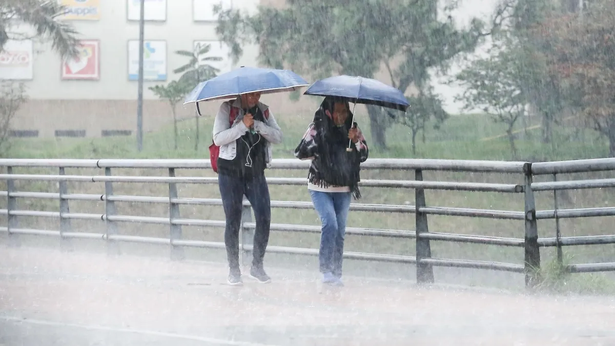
BOGOTÁ — Colombia is bracing for a weekend of stark meteorological contrasts. As the country navigates a complex transition period characterized by shifting atmospheric conditions, citizens will experience a dual climate narrative: intense, localized downpours concentrated primarily in the northern and western regions, juxtaposed with blistering heatwaves pushing temperatures past the 34°C mark in at least eight major cities.
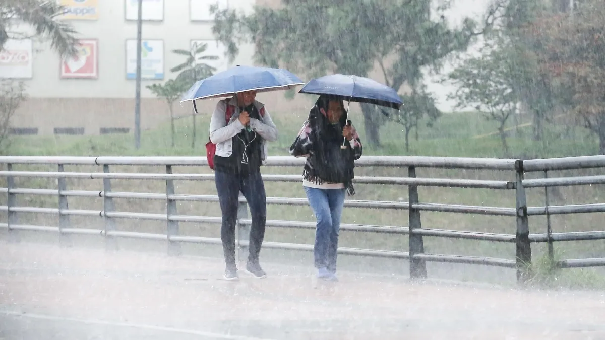
According to the latest special bulletins issued by the Institute of Hydrology, Meteorology and Environmental Studies (Ideam), the heavy precipitation patterns that have regularly affected parts of the country are projected to weaken progressively. Forecasters anticipate that Sunday will mark a notable abatement in rainfall across a significant portion of the national territory, offering a momentary reprieve for flood-prone areas, even as high-altitude regions maintain cooler, more temperate conditions.
Main Facts: A Weekend of Climatic Extremes
The primary weather driver for the weekend involves a split dynamic between atmospheric instability triggering heavy downpours and stable air masses driving high thermal sensations across the Caribbean, the Orinoquía, and parts of the Andean and Pacific regions.

While residents in capital cities like Bogotá prepare for mild, brisk conditions—with temperatures expected to hover comfortably between 10°C and 21°C—citizens in lower-altitude and tropical zones must contend with severe heat indices. Ideam has identified eight primary urban centers where thermometers are expected to eclipse 34°C:
- Cúcuta (Norte de Santander)
- Santa Marta (Magdalena)
- Montería (Córdoba)
- Puerto Carreño (Vichada)
- Neiva (Huila)
- Yopal (Casanare)
- Arauca (Arauca)
- Valledupar (Cesar)
This thermal surge aligns with broader global climate trends. Recent data from international bodies like the Copernicus Climate Change Service underscore a persistent trajectory of global warming, amplifying seasonal temperatures and making extreme weather anomalies increasingly frequent across South America.
Chronology of the Weekend Forecast
The progression of meteorological events indicates a gradual stabilization of the atmosphere, moving from widespread, intense rainfall on Saturday toward a much drier, localized precipitation pattern by Sunday.
Saturday, November 7: Widespread Precipitation and Storm Activity
The weekend begins with robust atmospheric instability. Ideam’s predictive models for Saturday highlight significant moisture influxes, leading to heavy downpours across several key departments:

- High-Intensity Zones: Severe rainfall is expected in northern Norte de Santander, eastern Boyacá, Antioquia, eastern Caldas, western Cundinamarca, northern Tolima, Chocó, Nariño, and southern Meta.
- Moderate-Intensity Zones: Moderate showers will impact La Guajira, Magdalena, Atlántico, Bolívar, Sucre, Córdoba, southern Cesar, Santander, Valle del Cauca, Cauca, Arauca, Meta, Vichada, and the archipelago of San Andrés, Providencia, and Santa Catalina.
- Light and Dispersed Showers: Northern Cesar, Casanare, Caquetá, and Guaviare will experience minimal, intermittent rainfall.
- Dry Spells: Portions of Boyacá, Guainía, Vaupés, Putumayo, and Amazonas are projected to remain predominantly dry throughout the day.
Sunday, November 8: A Progressive Decline in Rainfall
As Sunday approaches, the overarching weather pattern shifts. The intensity and geographical reach of precipitation are expected to taper off significantly, fulfilling Ideam’s projection that Sunday will serve as the least rainy day of the weekend for the country’s interior and eastern sectors.
- Localized Heavy Rains: Heavy storms will largely restrict themselves to specific geographic pockets, namely the perimeter of the Sierra Nevada de Santa Marta, northern and eastern Santander, eastern Boyacá, western Cundinamarca, and eastern Guainía.
- Moderate Rains: Moderate precipitation is forecasted for central La Guajira, southern Sucre and Bolívar, Córdoba, Santander, western Boyacá, Antioquia, Caldas, Risaralda, northern Tolima, Valle del Cauca, the foothills of Arauca, Vichada, and Amazonas.
- Scattered Light Rains: Minor, passing showers will hit Cesar, northern Bolívar, Atlántico, Santander, Quindío, southern Tolima and Huila, Guaviare, Vaupés, Caquetá, Putumayo, Chocó, Cauca, Nariño, and the island department of San Andrés and Providencia.
- Extended Dry Conditions: Clear skies and dry weather will take hold over Magdalena, northern Sucre, parts of Boyacá (including the southern sector), eastern Cundinamarca, northern Huila, eastern Arauca, Casanare, and Meta.
Supporting Data and Climatological Context
The juxtaposition of heavy rainfall and soaring temperatures points to complex topographical and seasonal interactions unique to Colombia’s Andean, Caribbean, and tropical rainforest geographies.

- Thermal Anomalies: Cities situated in interior valleys and low-lying plains—such as Neiva in the upper Magdalena valley and Cúcuta along the Venezuelan border—are historically prone to high thermal retention. Combined with decreasing cloud cover on Sunday afternoon, these urban heat islands will easily push past the 34°C threshold.
- Rainfall Volume Shifts: While the northern Caribbean coast and western Pacific departments (like Chocó) remain perpetually vulnerable to high precipitation due to moisture currents coming off the oceans, the Andean interior is experiencing a classic weekend drying trend. This allows solar radiation to penetrate more directly, driving up daytime temperatures in intermediate cities.
- High-Altitude Stability: Bogotá’s forecast range of 10°C to 21°C reflects typical high-plateau (Sabana de Bogotá) meteorology, where thin air results in rapid cooling at night paired with moderate daytime warming under intermittent cloud cover.
Official Responses and Warnings
In light of the dual threat posed by high temperatures and localized flash floods, disaster management authorities and environmental agencies have issued targeted advisories.
The National Unit for Disaster Risk Management (UNGRD), working in tandem with Ideam, has urged local emergency committees—particularly in departments flagged for heavy Saturday rainfall such as Chocó, Antioquia, and Nariño—to remain on high alert. Mountainous terrains saturated by previous weeks of rainfall face an elevated risk of sudden landslides, soil destabilization, and localized flash flooding along fast-flowing rivers.

Simultaneously, health authorities in the eight cities facing temperatures above 34°C have rolled out preventive guidelines to protect vulnerable populations:
- Hydration Campaigns: Public health messaging emphasizes the need for increased fluid intake, particularly for children and the elderly, who are most susceptible to heat exhaustion and heatstroke.
- UV Radiation Warnings: With intense sunshine breaking through in regions experiencing drier conditions on Sunday, authorities advise the regular use of sunblock, hats, and UV-blocking eyewear to mitigate long-term skin health risks.
- Agricultural Advisories: Farmers and livestock producers in departments like Casanare, Cesar, and Huila have been advised to implement heat-mitigation strategies for crops and cattle to prevent thermal stress and agricultural losses during dry spells.
Implications for Infrastructure, Mobility, and Daily Life
The weekend’s polarized weather carries notable logistical and socioeconomic implications across Colombia:

- Transportation and Highway Safety: Travelers planning weekend road trips across the Andean corridor (particularly routes connecting Bogotá with Medellín, the Coffee Triangle, or the Caribbean coast) should exercise extreme caution. Landslide risks on Saturday afternoon could cause temporary road closures, while Sunday’s clearer skies are expected to normalize traffic flow.
- Urban Energy and Water Consumption: In high-temperature cities like Cúcuta, Valledupar, and Santa Marta, surging ambient temperatures typically result in spikes in residential and commercial energy consumption as air conditioning units operate at maximum capacity. Local utility providers have been put on notice to monitor grid stability.
- Tourism and Leisure: The anticipated drop in rainfall by Sunday afternoon will likely benefit tourism sectors in the Caribbean and Andean foothills, drawing travelers outdoors. However, operators in river-adjacent zones are maintaining safety protocols in case upstream rainfall triggers sudden water level rises.
As Colombia moves deeper into the final quarter of the year, meteorologists emphasize that this weekend serves as a microcosm of the country’s diverse and volatile climate: a reminder that citizens must remain adaptable to sudden transitions between torrential downpours and intense, sun-baked heat.