By Edwin Caicedo, Environment and Health Journalist
Updated: July 18, 2026
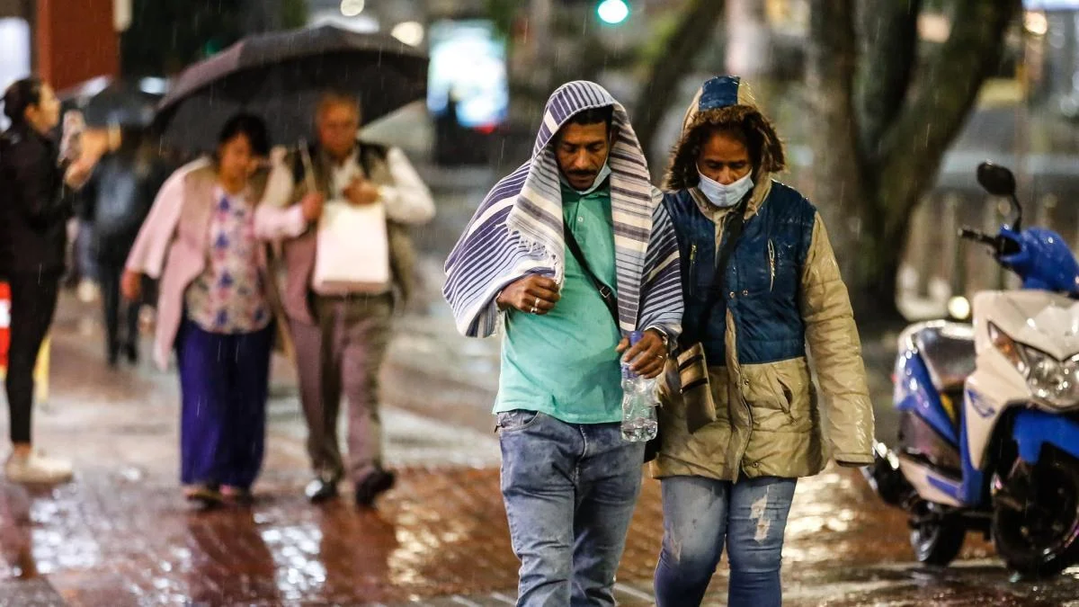
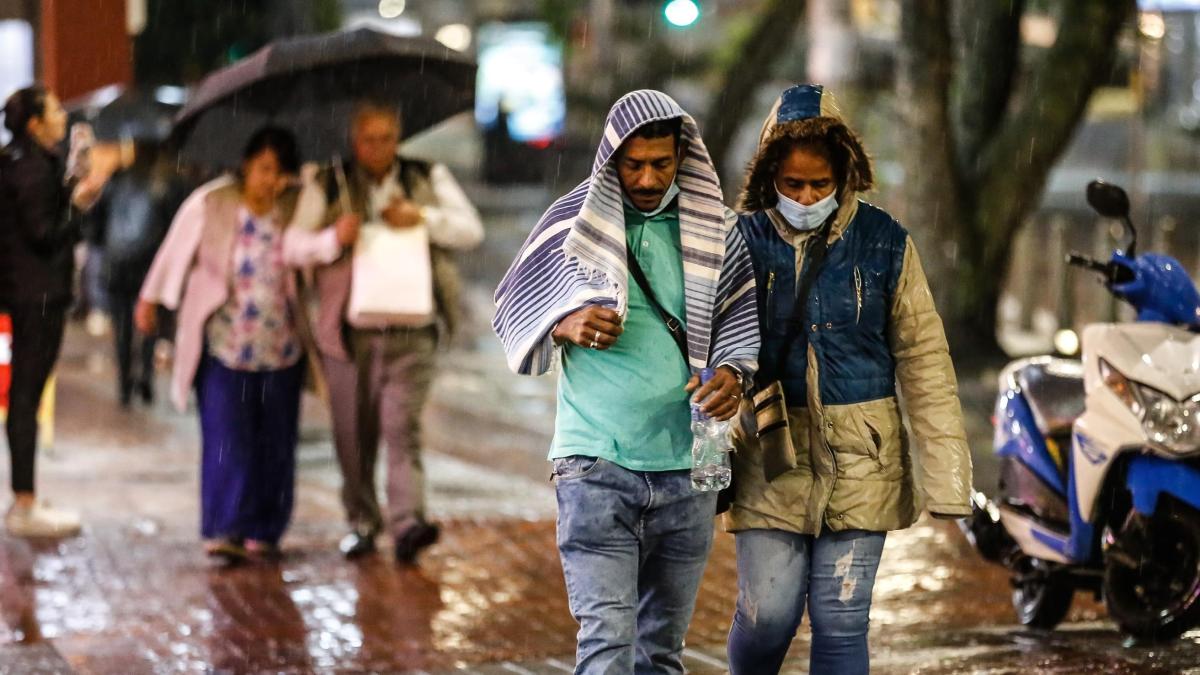
The Colombian Institute of Hydrology, Meteorology, and Environmental Studies (IDEAM) has issued a high-level alert for the upcoming long weekend, spanning from July 17 to July 20, 2026. A combination of the passage of Tropical Wave No. 27 and a complex interaction with various atmospheric systems is set to trigger a significant surge in rainfall across the majority of the national territory. While the country prepares for a holiday break, authorities are urging citizens to remain vigilant as the risk of landslides, flash floods, and severe wind events looms over several departments.
The Meteorological Phenomenon: Why the Sudden Shift?
The current atmospheric instability is primarily driven by the transit of Tropical Wave No. 27. These systems, which originate in the Atlantic and track westward across the Caribbean and northern South America, are notorious for carrying massive amounts of moisture. As this wave interacts with local humidity and existing low-pressure systems, it creates the perfect recipe for convective activity—heavy, localized, and potentially destructive downpours.
IDEAM experts noted that while rainfall is a seasonal expectation for mid-July, the intensity and duration of these specific events are atypical. The combination of increased cloud cover and consistent moisture transport will result in precipitation that is not merely passing, but rather persistent, leading to a high probability of soil saturation in mountainous zones.

A Chronological Breakdown of the Forecast
The weather pattern is expected to evolve throughout the long weekend, with specific regions facing varying degrees of risk.
Friday, July 17: The Onset
The intensification process begins on Friday. Meteorologists predict that by the afternoon, heavy cloud cover will develop, particularly over the Pacific, Caribbean, Orinoquía, and Amazon regions, as well as the northern and western reaches of the Andean region. As night falls, the rain is expected to concentrate over the southern Caribbean and the northern Andes, impacting local transit and early travel plans for those heading out for the long weekend.

Saturday, July 18: Widening Impact
On Saturday, the coverage and intensity of the rains are expected to escalate. The most significant precipitation will occur during the early morning and afternoon hours. The western part of Antioquia, the central and northern sections of Chocó, and the southern part of Córdoba remain the primary targets for the heaviest downpours. Additionally, mountainous areas in the northern Andes will likely experience significant rainfall, potentially affecting mountain passes and rural roadways.
Sunday, July 19: The Peak of the Storm
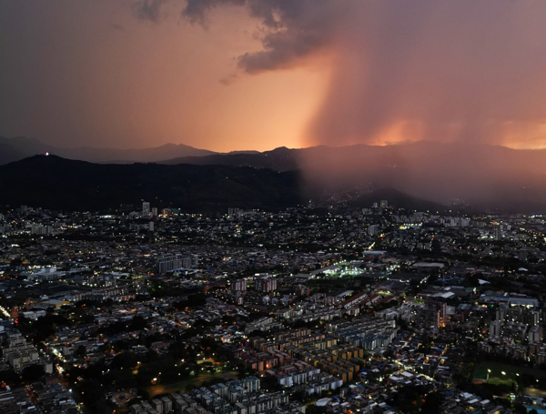
Sunday is forecasted to be the most critical day of the weekend. IDEAM warns that the entire country should be on high alert, with the western and southwestern regions bearing the brunt of the storm. The heaviest cumulative rainfall is expected in the western Antioquia, central Chocó, and southern Córdoba corridor, alongside the mountainous terrains of the Coffee Axis (Eje Cafetero). Residents in these areas are advised to stay indoors and avoid unnecessary travel, as the risk of landslides and sudden flooding will be at its peak.
Monday, July 20: Continued Instability
As the holiday concludes, the wet conditions are set to persist. While some areas might see a slight reprieve, the general trend remains one of saturation. The Orinoquía and Amazonian foothills, as well as the central and northern departments, will continue to see significant moisture, ensuring that the ground remains dangerously unstable even as the weekend draws to a close.
Regional Vulnerabilities and Risk Factors
The geographic distribution of this event highlights the vulnerability of Colombia’s diverse terrain.

- The Pacific and Antioquia-Chocó Axis: This region remains the most sensitive. The combination of steep topography and high rainfall makes these areas prone to rapid-onset landslides.
- The Caribbean Region: Beyond the rain, the coast faces an added danger: high-velocity trade winds. IDEAM reports wind speeds between 20 and 30 knots, which will exacerbate wave heights, posing a significant risk to small maritime vessels and local tourism activities.
- Thermal Discomfort: Interestingly, while the country will be rainy, departments such as Cesar, Magdalena, Sucre, and Bolívar may experience extreme thermal sensations. The mix of high daytime temperatures and oppressive humidity levels will create a "heat index" that can be physically taxing for residents.
- The San Andrés Archipelago: The islands are not exempt from this atmospheric disturbance. Rain is expected to persist throughout the holiday, particularly between Sunday and Monday, which could impact flights and tourist mobility.
Official Recommendations and Safety Protocols
The gravity of the situation has prompted IDEAM to issue a series of strict guidelines for both local authorities and the general public.
For Authorities:
- Infrastructure Monitoring: Municipalities in high-risk zones, particularly in the Andes, must maintain constant surveillance of road networks, bridges, and drainage systems.
- Emergency Preparedness: Disaster response teams should be on standby. The potential for sudden river overflows requires immediate pre-positioning of equipment and evacuation protocols in flood-prone settlements.
For Citizens:
- Travel Precautions: Avoid traveling during heavy rain, especially through mountainous terrain. If movement is essential, opt for daytime travel when visibility is higher and risks are more easily identified.
- Structural Security: Ensure that roofs, gutters, and balconies are clear of debris. Strong winds can turn loose objects into dangerous projectiles.
- Electrical Safety: During thunderstorms, seek shelter immediately. Avoid standing under large, isolated trees or near metallic structures that could attract lightning strikes.
- Environmental Awareness: The risk of forest fires, paradoxically, still persists in areas of Santander, Antioquia, and Nariño. While rains are imminent, dry patches in these regions remain susceptible to fire spread, and residents should remain cautious regarding the use of fire or flammable materials.
The Broader Context: Why Climate Resilience Matters
This weather event serves as a stark reminder of Colombia’s increasing vulnerability to climate-related hazards. As noted by environmental experts, the nation’s ability to manage these events is contingent upon robust, centralized systems. Recent debates regarding the restructuring of the National Unit for Disaster Risk Management (UNGRD) highlight the tension between administrative efficiency and the critical need for disaster preparedness.
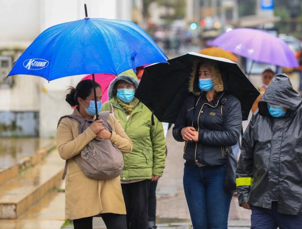
Furthermore, the environmental health of the Amazon and other biodiversity hotspots is being severely tested. Changes in precipitation patterns threaten not only human infrastructure but also the ancestral knowledge and plant species that depend on stable, predictable seasonal cycles.
Conclusion: A Weekend for Caution
As millions of Colombians prepare to enjoy the holiday, the message from the authorities is clear: nature is currently in a state of high volatility. The combination of Tropical Wave No. 27 and regional weather systems demands a shift in plans for those living in or traveling to the most affected areas. By prioritizing safety, keeping informed through official channels like the IDEAM, and adhering to local warnings, the population can mitigate the risks posed by this intense weather cycle.

For real-time updates and specific alerts for your municipality, consult the latest reports provided by IDEAM or follow local disaster management offices (Consejos Municipales de Gestión del Riesgo) on social media.